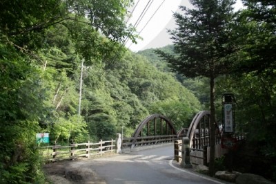
Yumyeongsan Mountain (유명산)

stocking
Gyeonggido
0
287
0
0
2023.03.31 20:59
STOCKZERO
 > Korea Tourist Attractions http://stockzero.net/bbs/board.php?bo_table=tp_kr_attract&wr_id=2353")
|
Originally, no name was given to this mountain on topographical maps. But in 1973, when the Empor Alpine Club reached the mountain during a hike
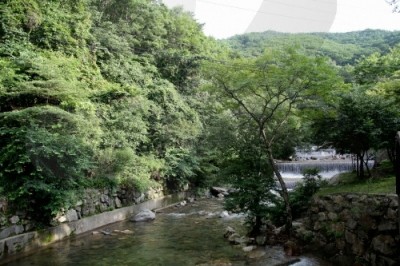
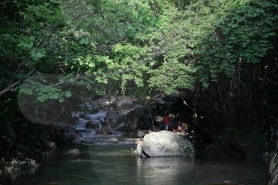
across the nation, the club members named it after Jin Yu-myeong, a member of the expedition. On old maps, the mountain had been called Mayusan Mountain because of the horses raised in the area, but today it is more widely known as Yumyeongsan Mountain. The trail that starts from Yangpyeong leads to an expansive and open grassland. The hiking trails are also connected to those of Mount Daebusan and Mount Sogunisan. On the summit, there is a pile of stones, and the view from the top is splendid.
|
|||||||
| Day off | Opening day | ||||||
|---|---|---|---|---|---|---|---|
| Experience guide | Age of use | ||||||
| Hours of use | Ask |
• 1330 Travel Hotline: +82-2-1330 (Korean, English, Japanese, Chinese) • For more info: +82-31-582-8830 |
|||||
| Di sản | Receive | ||||||
| Parking lot | Available | When should you use it? | |||||
| Stroller rental | none | Pet | none | ||||
| Credit | Source | KOREA TOURISM ORGANIZATION | |||||
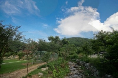
| Address | Okcheon-myeon, Yangpyeong-gun & Seorak-myeon, Gapyeong-gun, Gyeonggi-do | ||||||
STOCKZERO does not store any data regarding current location information. We simply use OpenStreet's source code to show it to our customers.
The location may not be accurate on PC.
By viewing your current location, you are deemed to have understood and agreed to this content.

Mountain Not Access Period:Seasonal Forest Fire Watches
Spring: March 2-April 30
Autumn: November 1-December 15
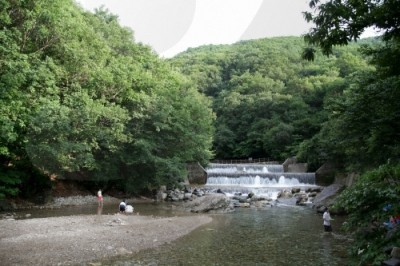
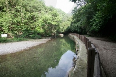
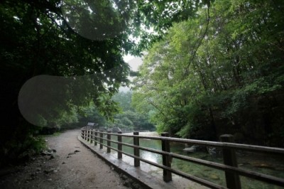
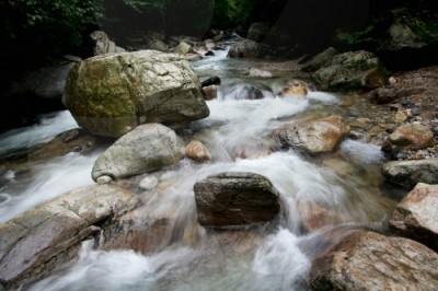
* Periods and areas are subject to change based on fire weather advisories, snow/precipitation levels, and other local conditions Restricted Mountain Areas :Refer to the website. Hiking Course:* Course 1: Yumyeongsan Recreational Forest Office → Odalsaem Spring → Peak → Yumyeongsan Valley → Yongso → Bakjwiso → The entrance of valley
* Course 2: Gail-ri Parking Lot → Direction Board → Yumyeongsan Valley → Peak (4.3km, 3 hours)
* Course 3: Gail-ri Parking Lot → Direction Board → Bungneung Peak (2.6km, 1hr 30min) Restrooms:Available
Spring: March 2-April 30
Autumn: November 1-December 15
* Periods and areas are subject to change based on fire weather advisories, snow/precipitation levels, and other local conditions Restricted Mountain Areas :Refer to the website. Hiking Course:* Course 1: Yumyeongsan Recreational Forest Office → Odalsaem Spring → Peak → Yumyeongsan Valley → Yongso → Bakjwiso → The entrance of valley
* Course 2: Gail-ri Parking Lot → Direction Board → Yumyeongsan Valley → Peak (4.3km, 3 hours)
* Course 3: Gail-ri Parking Lot → Direction Board → Bungneung Peak (2.6km, 1hr 30min) Restrooms:Available


